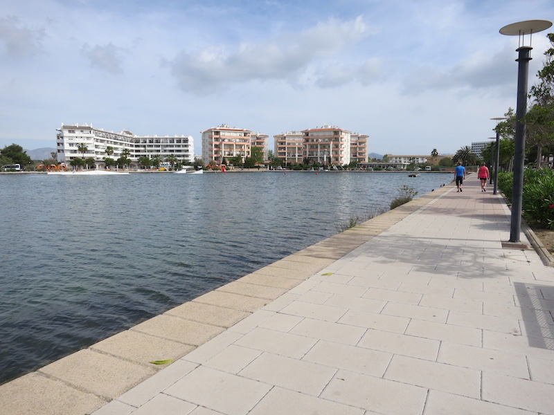
ES532MAL025 - Alcúdia lakes and channels
Wetland data
Basic information
| Wetland location: |
Marine/Coastal |
| Wetland type: |
Natural |
| Wetland area: |
6.9 Ha |
| Hydrological interaction: |
Yes |
| Water salinity: |
Salty (> 18.0 g/l) |
| Type of fresh water input: |
Other |
| Surface water runoff |
Οutflow channel |
| Open water area (%): |
> 95 |
| Hydroperiod: |
Permanent |
Geographic information
| Region: |
Balearic Islands |
| Island: |
Mallorca |
| Municipality: |
Alcúdia |
| Longitude: |
3.110225 East |
| Latitude: |
39.834315 North |
Wetland condition
| Wetland status (MEDWET): |
4 - Original habitats/landform highly modified (<10% untouched) |
Ramsar wetland type
| Type |
Coverage (%) |
| 9 -- Canals and drainage channels, ditches |
> 95 |
Property status
| Maritime-Terrestrial Public Domain |
Ecosystem services
| Type of ecosystem service |
Ecosystem service |
Scale of Βenefit (%) |
Importance |
| Regulatory services |
Flood hazard regulation |
|
|
| Supporting services |
Provision of habitat |
|
|
| Cultural services |
Recreation and tourism |
|
|
Activities on wetland
| Activity |
Intensity |
| 400 = Urbanised areas human habitation |
High |
| 620 = Outdoor sports and leisure activities |
Medium |
| 701 = water pollution |
Unknown |
| 800 = Landfill land reclamation and drying out general |
High |
| 850 = Modification of hydrographic functioning general |
High |
Activities on catchment area
| Activity |
Intensity |
| 401 = continuous urbanisation |
High |
| 502 = roads motorways |
Medium |
| 621 = nautical sports |
Medium |
| 690 = Other leisure and tourism impacts not referred to above |
High |
| 701 = water pollution |
Unknown |
| 800 = Landfill land reclamation and drying out general |
High |
| 850 = Modification of hydrographic functioning general |
High |
| 870 = Dykes embankments artificial beaches general |
High |
Impacts
| Impact |
Intensity |
| AN- = Increase in noise |
High |
| AS- = Loss of scenic value |
Medium |
| FCD = Loss of faunal diversity |
Unknown |
| HC- = Loss of wildlife corridor(s) |
High |
| HF- = Habitat fragmentation |
High |
| HL- = Habitat loss |
High |
| LA- = Decrease in transport capability |
High |
| LD- = Decrease in sediment removal/retention |
High |
| LW- = Decrease in wilderness/wildlife values |
High |
| PCO = Chemical pollution of an unknown severity/duration |
High |
| SA- = Accretion/Deposition |
High |
| VCD = Loss of floral diversity |
High |
| WD- = Diversion of flowing water |
High |
| WR- = Altered flow regime |
High |