ES531IBI006 - Santa Eulàlia river
Description
Wetland data
Basic information
| Wetland location: | Marine/Coastal |
| Wetland type: | Natural |
| Wetland area: | 116.9 Ha |
| Hydrological interaction: | - |
| Water salinity: | Salty (> 18.0 g/l) |
| Type of fresh water input: | Unconfined aquifer |
| Surface water runoff | Outflow from lakeshore or river |
| Open water area (%): | > 95 |
| Hydroperiod: | Permanent |
Geographic information
| Region: | Balearic Islands |
| Island: | Ibiza |
| Municipality: | Santa Eulària des Riu |
| Longitude: | 1.525751 East |
| Latitude: | 38.981221 North |
Wetland condition
| Wetland status (MEDWET): | 2 - Original habitats/landform still predominant (>50%) |
Ramsar wetland type
| Type | Coverage (%) |
| N — Seasonal/intermittent/irregular rivers/streams/creeks | 51 - 75 |
| F — Estuarine waters; permanent water of estuaries and estuarine systems of deltas. | 26 - 50 |
Property status
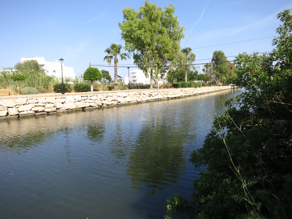
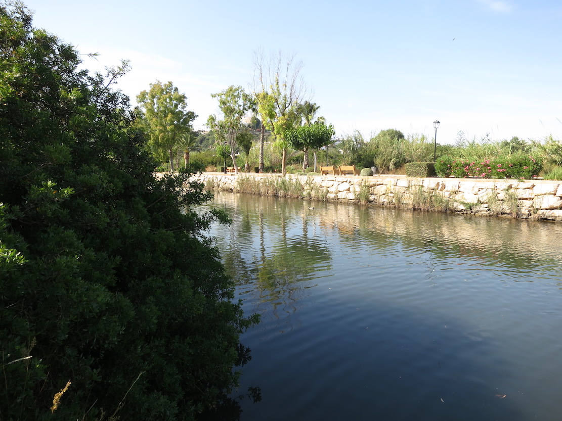
| Maritime-Terrestrial Public Domain |
Ecosystem services
| Type of ecosystem service | Ecosystem service | Scale of Βenefit (%) | Importance |
| Regulatory services | Erosion regulation | ||
| Regulatory services | Flood hazard regulation | ||
| Provisioning services | Food | ||
| Supporting services | Nutrient cycling | ||
| Supporting services | Provision of habitat | ||
| Regulatory services | Water purification | ||
| Regulatory services | Water regulation |
Activities on wetland
| Activity | Intensity |
| 490 = Other urbanisation industrial and similar activities | High |
| 629 = other outdoor sports and leisure activities | Unknown |
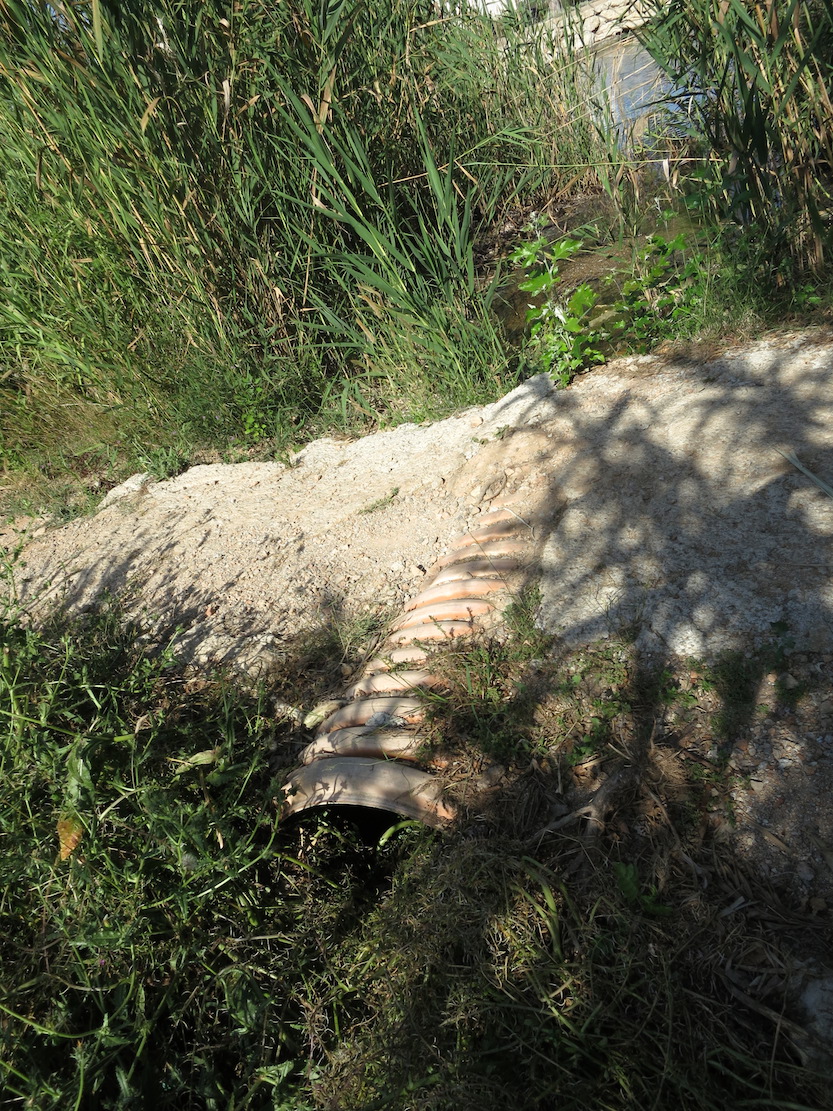
| 830 = Canalisation | High |
| 850 = Modification of hydrographic functioning general | High |
Activities on catchment area
| Activity | Intensity |
| 130 = Irrigation | High |
| 401 = continuous urbanisation | High |
| 502 = roads motorways | High |
Impacts
| Impact | Intensity |
| AS- = Loss of scenic value | High |
| FCD = Loss of faunal diversity | Unknown |
| HC- = Loss of wildlife corridor(s) | High |
| LD- = Decrease in sediment removal/retention | High |
| LW- = Decrease in wilderness/wildlife values | High |
| WG- = Drainage/Reduction of water level | High |
| WGT = Lowering of water table | High |
| WR- = Altered flow regime | High |
Habitat types
| Type | Coverage (%) |
| 92A0 Salix alba and Populus alba galleries | < 5 |
Flora
| Species | Presence status | References |
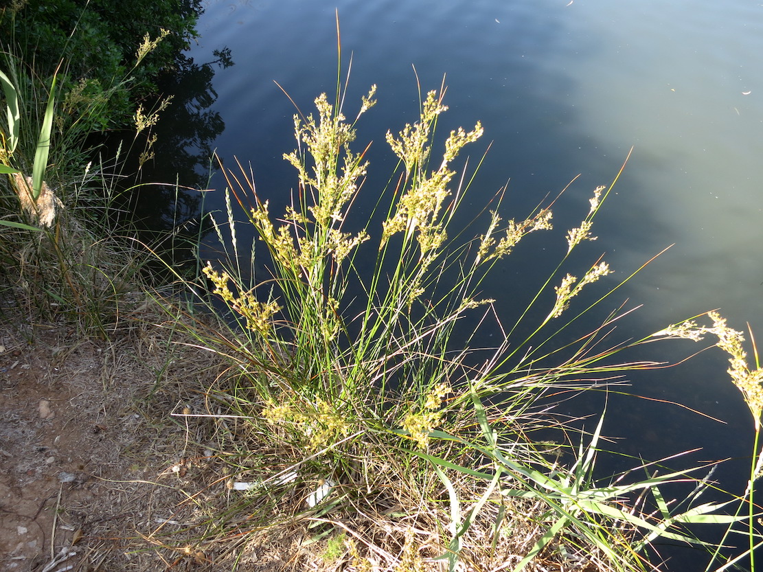
| Juncus maritimus de Lamarck 1789 | ||
| Myrtus communis Linnaeus 1753 | ||
| Nerium oleander Linnaeus 1753 | ||
| Phragmites australis (Cavanilles) von Trinius ex v | ||
| Rubus ulmifolius Schott 1818 |
Fauna
Birds |
Number of individuals |
Nesting |
References |
|
| Anas platyrhynchos Linnaeus 1758 | 1-10 | Nesting | Planas et al., 2015 | |
| Alcedo atthis (Linnaeus 1758) | 1-10 | Not nesting | Manchado et al., 2017 | |
| Fulica atra Linnaeus 1758 | 1-10 | Not nesting | Manchado et al., 2017 | |
| Gallinula chloropus (Linnaeus 1758) | 1-10 | Not nesting | Manchado et al., 2017 | |
| Phalacrocorax carbo (Linnaeus 1758) | 1-10 | Not nesting | Manchado et al., 2017 | |
Invertebrates |
Presence status in wetland |
References |
||
| Callinectes sapidus | Common |
Manchado, J., Méndez, X, Suárez, M. & Cardona, E. Recompte hivernal d'aus aquàtiques, limícoles i gavines a les Balears, gener 2017. AOB 2016, vol 31: 25-38. GOB. Palma.
Planas, B., Fernández, J. Viada, C. & López, J.L. 2015. Seguimiento de las poblaciones reproductoras de aves acuáticas nidificantes en el Parque Natural de Ses Salines d'Eivissa i Formentera. Año 2014. Monografies de la Societat d'Història Natural de les Balears, núm. 20 (Llibre Verd de Protecció d'Espècies a les Balears): 301-316. SHNB-Govern de les Illes Balears. Palma.
Sitibsa, 2006b. Document tècnic de delimitació, caracterització, classificació i inventari de les zones humides de les Illes Balears. Cartografia Vegetal de les Zones Humides de les Illes Balears. Conselleria de Medi Ambient. Govern de les Illes Balears.
Sitibsa, 2006b. Document tècnic de delimitació, caracterització, classificació i inventari de les zones humides de les Illes Balears. Cartografia Vegetal de les Zones Humides de les Illes Balears. Conselleria de Medi Ambient. Govern de les Illes Balears.
Images