
ES531FOR004 - Sa Talaiassa temporary pond
Description
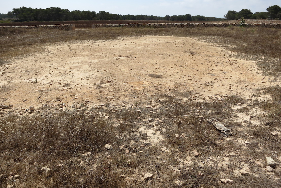
Wetland data
Basic information
| Wetland location: | Inland |
| Wetland type: | Natural |
| Wetland area: | 0.1 Ha |
| Hydrological interaction: | - |
| Water salinity: | Fresh (< 0.5 g/l) |
| Type of fresh water input: | Catchment area (precipitation) |
| Surface water runoff | There is no obvious water outflow |
| Open water area (%): | 76 - 95 |
| Hydroperiod: | Temporary/Intermittent |
Geographic information
| Region: | Balearic Islands |
| Island: | Formentera |
| Municipality: | Formentera |
| Longitude: | 1.551663 East |
| Latitude: | 38.660519 North |
Wetland condition
| Wetland status (MEDWET): | 2 - Original habitats/landform still predominant (>50%) |
Ramsar wetland type
| Type | Coverage (%) |
| Ts - Seasonal/intermittent freshwater marshes/pools on inorganic soils | > 95 |
Property status
| Private |
Important bird areas
| IBA code | Site name | Coverage (%) | References |
| ES314 | La Mola de Formentera | 100 | Infante et al., 2011 |
Ecosystem services
| Type of ecosystem service | Ecosystem service | Scale of Βenefit (%) | Importance |
| Supporting services | Provision of habitat |
Activities on wetland
| Activity | Intensity |
| 100 = Cultivation | High |
| 140 = Grazing | High |
Activities on catchment area
| Activity | Intensity |
| 100 = Cultivation | High |
| 140 = Grazing | High |
| 890 = Other human induced changes in hydraulic conditions | High |
Impacts
| Impact | Intensity |
| HL- = Habitat loss | High |
Habitat types
| Type | Coverage (%) |
| 3170 * Mediterranean temporary ponds | > 95 |
Infante, O., Fuente, U. & Atienza, J.C. 2011. Las Áreas Importantes para la Conservación delas Aves en España. SEO/BirdLife. Madrid.
Images

